

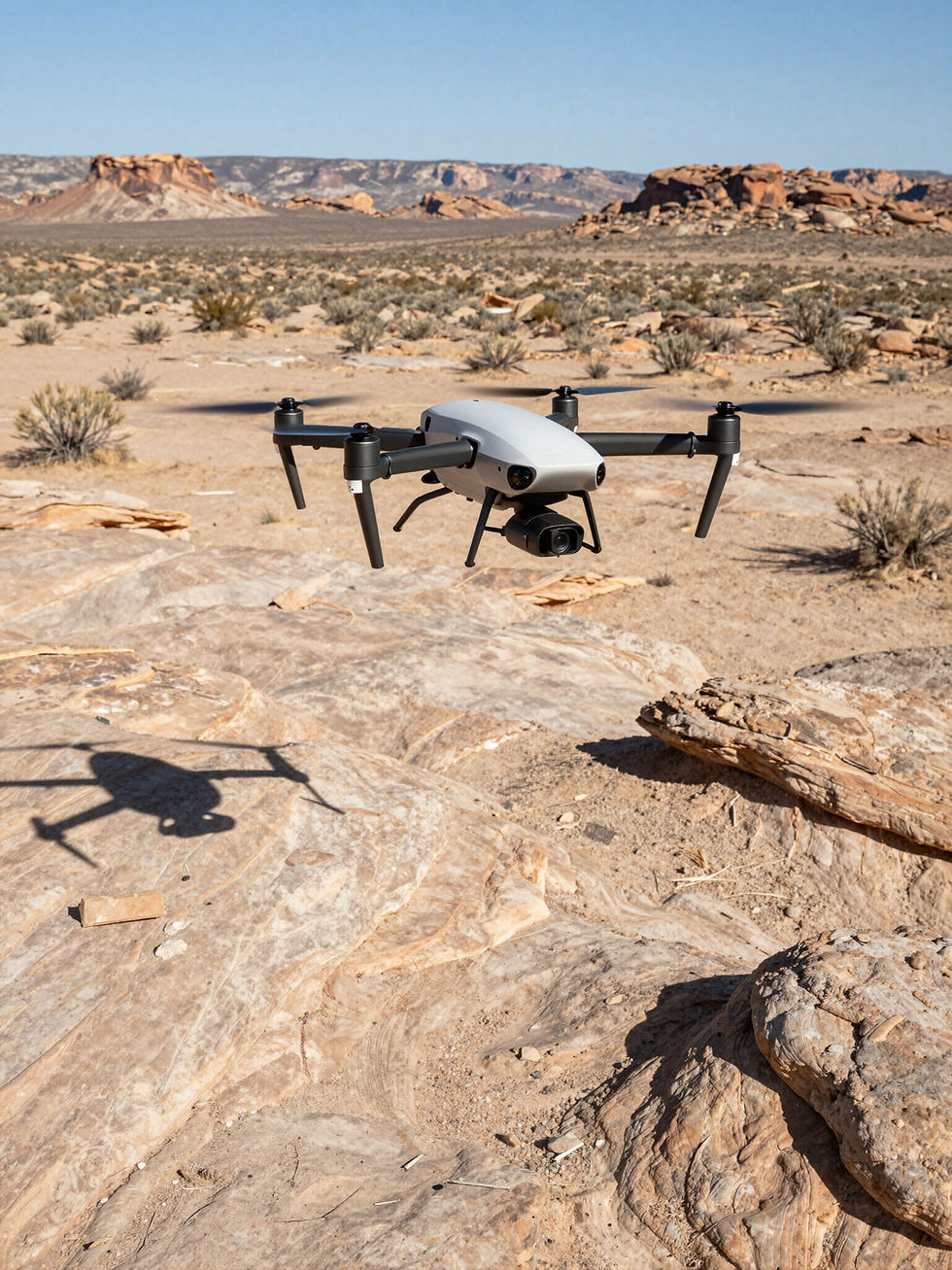
Expert on-site assessments for ranches, rural lands, and remote properties are our specialty. Absentee owners and investment firms turn to us for meticulous data on fence lines, access roads, utility infrastructure, and weather impacts. Every survey delivers exhaustive visual proof, allowing you to clearly understand the current condition of your assets. Our advanced drone imaging can be utilized as a standalone solution or integrated into a complete on-ground land evaluation.
Structural Stability
01
Detailed visual assessments of roads, fencing, access points, and visible land features using high-resolution analysis.
02
Fence line assessment
Targeted aerial and ground-level photo sets for investors evaluating rural parcels—spot red flags early.
03
Utility Infrastructure analysis
Regular aerial flyovers and photo reviews for out-of-state owners—see land conditions without leaving home.
Our Core Assessment Services
04
Desert Terrain
Focused reporting on vegetation, access, and visible risks in hard-to-reach areas, supported by aerial imagery.
05
Detailed Reporting
Concise, photo-rich reports that highlight what changed, what looks stable, and what needs attention.
06
Regulatory Review
Reviews tailored to lender, insurer, or partner requirements for land condition documentation.

Backcountry Assessment LLC
Building on 20 years of risk identification in high‑desert zones, we focus on the unique hurdles of isolated land. Our experts supply thorough evaluations across Arizona's toughest regions, ensuring your property remains accessible and secure.
The Process Cycle
STEP 01
STEP 02
STEP 03
STEP 04
Physical Assessment
Critical Review
Report Prep
Review Call
A complete on-site visual walk assessment utilizing advanced ground and drone imagery documentation.
Deep-dive risk diagnosis focused on identifying problem areas of the over all property.
Synthesis of data into a professional asset briefing with high-resolution visual evidence.
A mapping call to discuss findings and provide success-oriented recommendations for owners.
Contact us Today
Property and Asset evaluations through boots on the ground and Drone capabilities.
Home base Location
Arivaca, Arizona
Dallasrawson@backcountryassessmentllc.com
Phone
(520) 646-5747